Autonomous Mower Product Performance & Acceptance Baseline
1. Core Performance Overview
|
Performance Item
|
Current Capability / Specification
|
|
Mapping
|
Define operating boundaries on the web-based map; fixed obstacles can be marked using Waypoints / Pinpoints so planned paths avoid them.
|
|
Path Planning
|
After mapping is completed, the system automatically generates the working path; target path generation time: < 1 min.
|
|
RTK positioning accuracy
|
1 in
|
|
Operating Speed
|
4.5-6.5 mph
|
|
Mowing Pattern
|
Serpentine (back-and-forth passes)
|
|
Turning Maneuver
|
U-turns between adjacent passes
|
|
Minimum Detectable Obstacle Size
|
≥ 59 × 39 × 20 in (approximately adult-sized)
|
|
Obstacle Wait / Bypass
|
Wait for 10s; if the obstacle is not removed, bypass it with an approximately 16 ft radius and resume operation.
|
|
Gradient
|
< 5°
|
|
Ambient Operating Temperature
|
14-122°F
|
|
Dust / Water Protection
|
IP54
|
|
Boundary Safety
|
Automatically stops operation if the vehicle approaches the defined operating boundary abnormally.
|
|
Effective Mowing Coverage
|
At least 16ft inside the operating boundary and at least 16 ft from the center of fixed obstacles; no missed mowing is allowed within the effective mowing area.
|
2. Mapping
- Users can define the boundaries of the autonomous operating area using the map on the web interface.
- Fixed, permanent obstacles within the operating area can be marked by placing obstacle markers so the planned path avoids those areas.
3. Path Planning
- After mapping is completed, the system can automatically generate working paths based on the defined operating area without requiring the user to manually draw each operating path.
- Current target for path generation time: < 1 min.
- Recommended path spacing: approximately 47 in, providing approximately 12 in of overlap.
4. Straight-Line Driving
Accuracy: 1 in.
Speed: 4.5-6.5 mph.
5. Mowing Pattern and Turning Maneuvers
- Mowing pattern: The system generates back-and-forth (serpentine) mowing passes across the operating area.
- Turning maneuver: At the end of each pass, the mower makes a U-turn to enter the adjacent pass and continue mowing.
6. Automatic Obstacle Avoidance
- Minimum detectable object size: approximately 59 × 39 × 20 in or larger (approximately the size of an adult person).
- Temporary obstacles: Obstacles located more than approximately 66 ft away are currently not detected.
- Static and continuously present obstacles: The system can currently detect them at a distance greater than approximately 49 ft and stop the vehicle.
- If the obstacle does not move within 15 seconds, the vehicle will bypass the obstacle using an approximately 16 ft bypass radius and then resume operation.
7. Environmental Adaptability
|
Item
|
Current Specification
|
|
Gradient
|
< 5°
|
|
Operating Temperature
|
14-122°F
|
|
Dust / Water Protection
|
IP54
|
8. Safety Safeguards
- If the vehicle approaches the defined operating-area boundary abnormally, the system will automatically stop vehicle operation.
9. Effective Mowing Coverage
- On suitable, relatively level lawn surfaces under normal operating conditions, the system shall leave no unmowed areas within the effective mowing area. The effective mowing area begins at least 16 ft inside the operating boundary and at least 16 ft from the center of any fixed obstacle.
Specifications of Kit:
 |
 |
 |
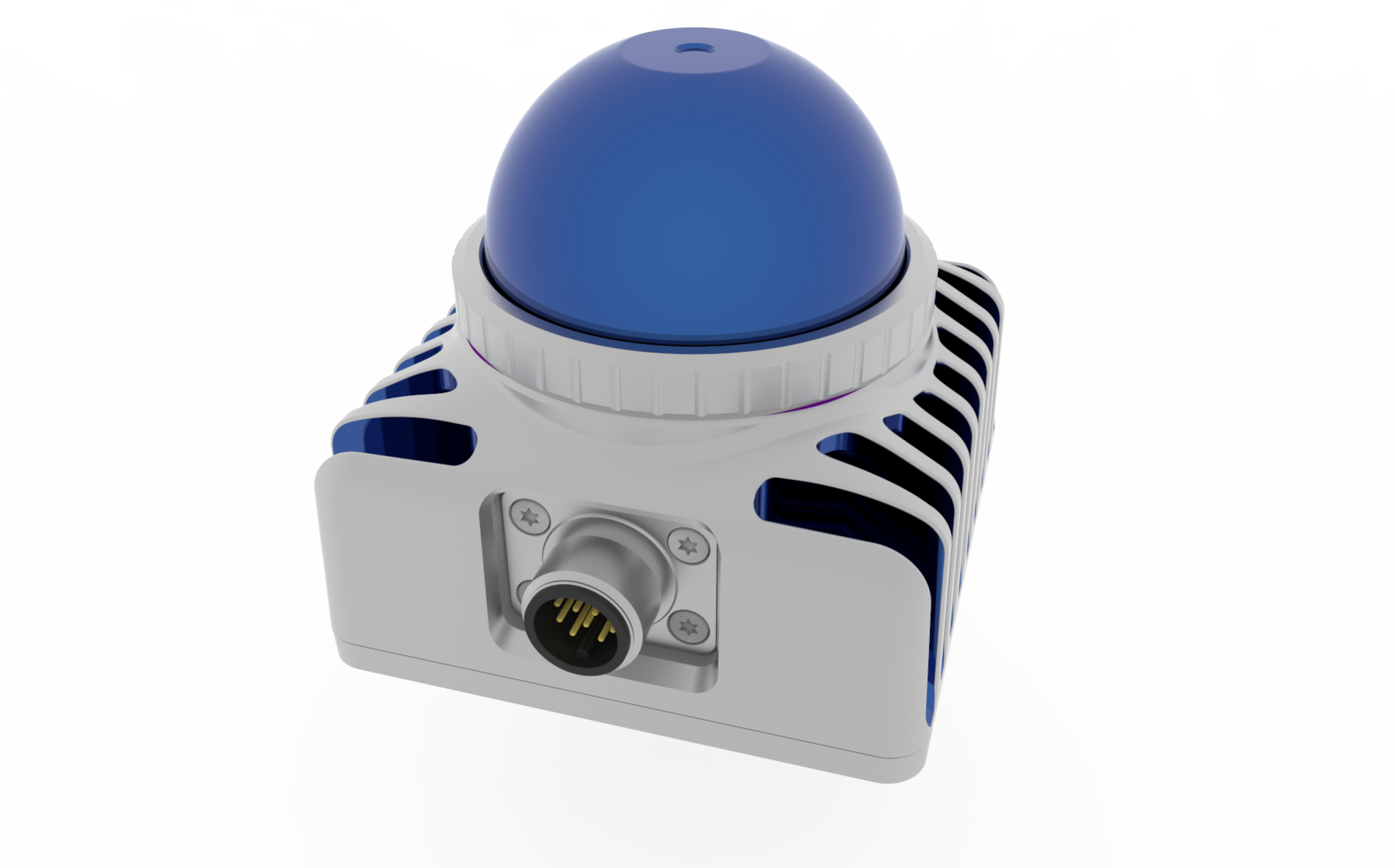
| LiDAR |
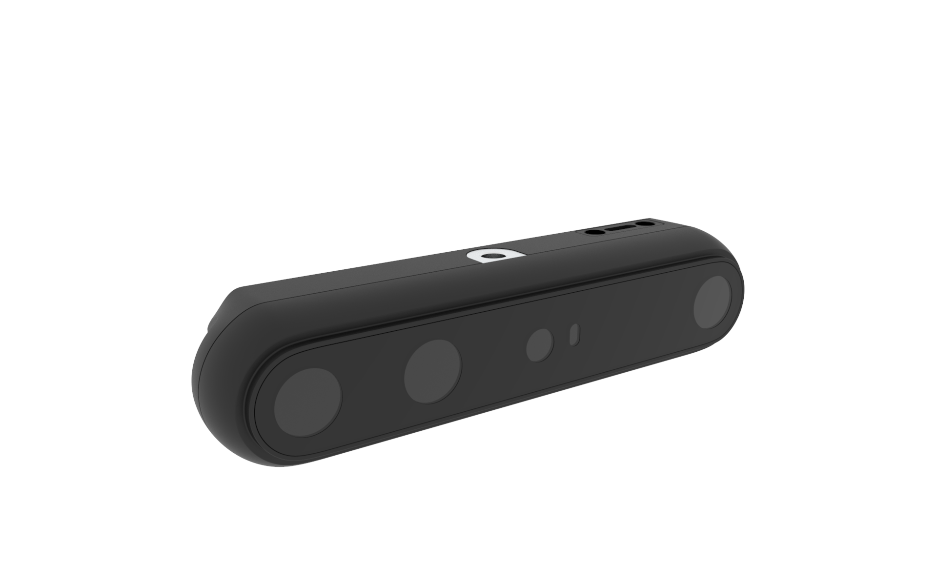
AI Visual System |
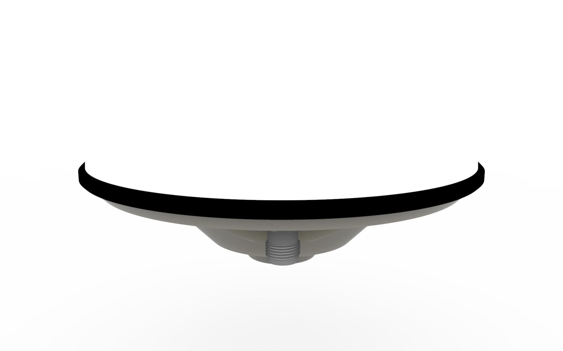
GNSS |
| Laser & Safety |
Depth & Vision |
Positioning & Navigation |
Laser Wavelength:905 nm
Laser Safety:Class 1 (IEC 60825-1:2014), eye-safe |
Depth Technology:Stereo
Wavelength: 850 nm
Depth Range:Depth Range: 0.17–20 m+ (0.6–66 ft); Optimal: 0.25–6 m (0.8–20 ft)
Depth Resolution / FPS:Up to 1280 × 800 @ 30 fps
Depth Field of View:H 90° × V 65°
RGB Resolution / FPS:Up to 1280 × 800 @ 60 fps
RGB Field of View:H 94° × V 68°
Spatial Precision:≤ 0.8% (@ 2 m); ≤ 1.6% (@ 4 m) |
Function: RTK + Heading
Supported Constellations: GPS, GLONASS, Galileo, BDS, QZSS, NavIC
SBAS: WAAS, EGNOS, MSAS, GAGAN, and others |
| Performance |
Hardware & Output |
Accuracy & Performance |
Detection Range: 40 m (131 ft) @ 10% reflectivity (typ.); 100 m cut-off
Close Proximity Blind Zone: 0.1 m
Field of View: Horizontal 360°; Vertical -7° to 52°
Range Precision (1σ): < 0.15°
Point Rate: 200,000 points/s (first return)
Frame Rate: 10 Hz (typ.) |
Built-in IMU:Supported
Data / Power Interface:USB 3.0 Type-C
Power Consumption:Average < 3.0 W
Data Output:Point Cloud, Depth Map, IR & RGB |
Horizontal Position Accuracy: Autonomous 1 m; RTK 0.8 cm + 1 ppm
Vertical Position Accuracy: Autonomous 1.5 m; RTK 1.5 cm + 1 ppm
Heading Accuracy: 0.1°
Velocity Accuracy: 0.03 m/s
RTK Convergence Time: 5 s
Update Rate: Default 10 Hz; Max. 20 Hz |
| Interface & Sync |
Environment |
Interfaces |
Data Interface: 100 BASE-TX Ethernet
Data Synchronization: IEEE 1588-2008 (PTPv2), GPS
False Alarm Rate:< 0.01% @ 100 klx
Built-in IMU:Yes |
Operating Environment:-10 °C to 50 °C (14 °F to 122 °F); 5%-90% RH (non-condensing)
IP Rating:IP65 |
Interfaces: UART ×3, I2C, SPI, CAN
Protocols: NMEA 0183, RTCM 3.x, QGC |
| Environment |
|
Environment |
Operating Temperature: -20 °C to 55 °C (-4 °F to 131 °F)
IP Rating:IP67 |
|
Operating Temperature:-40 °C to 85 °C (-40 °F to 185 °F)
IP Rating:IP67
Certifications: CE, RoHS |


